Australia
Historic 1:253,440 (R501)
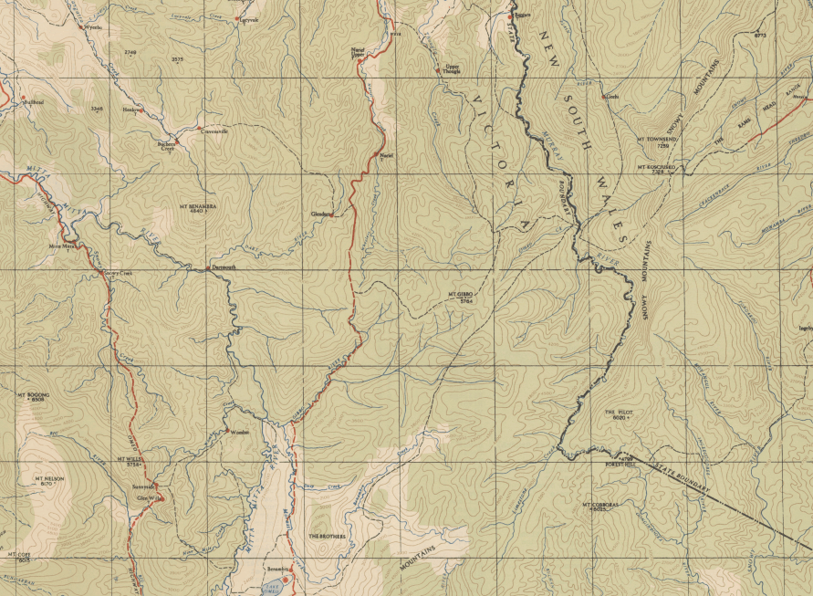
Source: National Library of Australia

Historic 1:250,000 (R502)
Completed in 1968, the R502 series of topographic maps provided Australia‟s first uniform topographic map coverage at a scale of 1:250,000. Production of the R502 map series was a significant, national achievement that involved considerable co-operative effort amongst Commonwealth (civilian and military) and State government mapping agencies as well as private sector organisations. The R502 series comprised 540 printed map sheets and was based entirely on aerial photography.
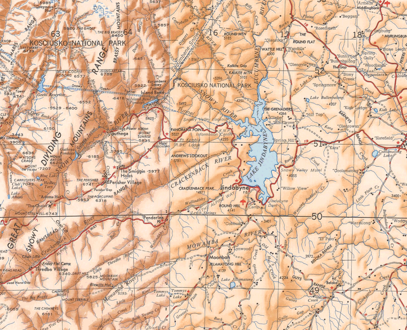
Source: National Library of Australia
Geoscience Australia 1:250,000
The 1:100,000 scale compilations were used to prepare and publish a new 1:250,000 scale series of 544 map sheets (1½º longitude by 1º latitude). This map series which covered the whole of Australia, replaced the R502 series and had contours shown at 50-metre vertical intervals. It was completed in 2012
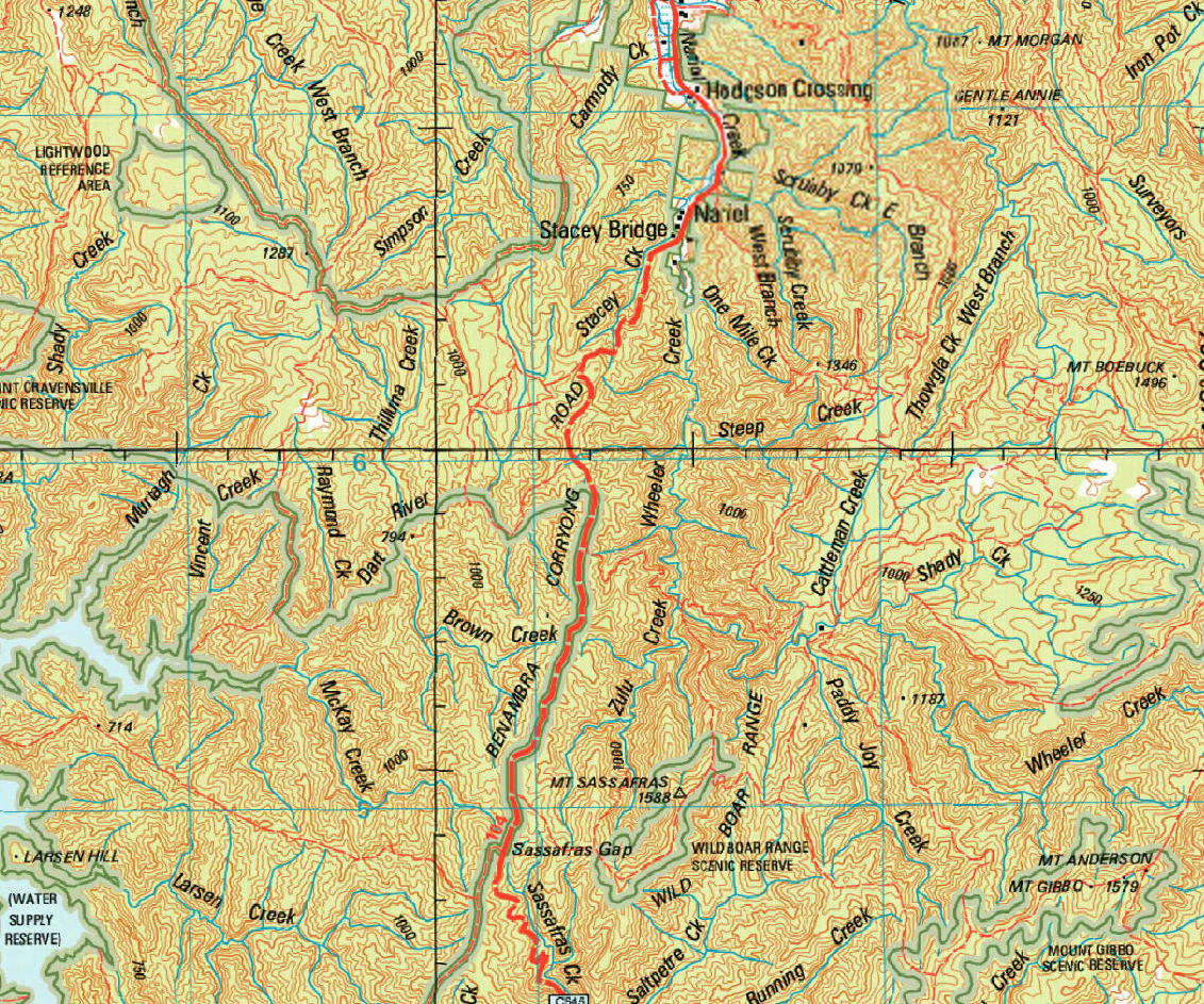
Coverage: Covers the whole of Australia with 516 maps.
Currency: 1995 to 2012
Source: Geoscience Australia
Geoscience Australia 1:50,000
Coverage: Partial coverage, predominantly in northern Australia, along major transport routes, and other selected areas. About 2761 maps have been published to date.
Currency: 1968 to 2006
Source: Geoscience Australia
Geoscience Australia 1:100,000
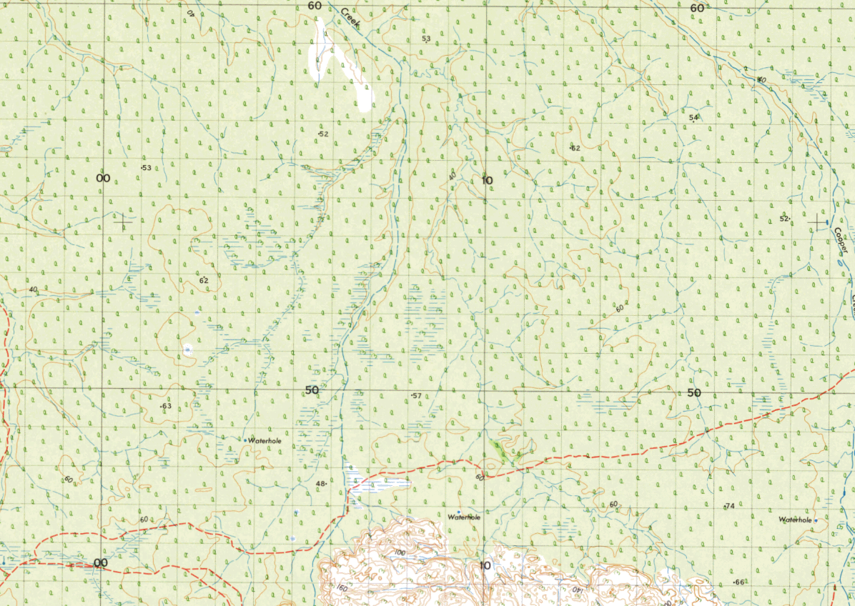
Coverage: Australia is covered by more than 3000 x 1:100 000 scale maps, of which 1600 have been published as printed maps. Unpublished maps are available as compilations (compilations are accurate plots from photogrammetric models using aerial photographs with established control point framework).
Currency: 1961 to 2008
Source: Geoscience Australia